Introduction©
Remote sensing and satellite imagery have become powerful tools in environmental analysis and monitoring. By utilizing these technologies, scientists and researchers can track changes in various aspects of the environment such as forest cover, land use, water quality, and climate patterns. This article will explore the importance of monitoring these environmental factors and demonstrate how remote sensing and satellite imagery play a vital role in understanding and managing them.
Understanding Remote Sensing Technologies
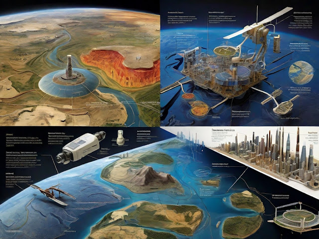
Remote sensing techniques involve the collection of data on the Earth's surface from a distance, typically using sensors mounted on satellites or aircraft. These sensors measure the electromagnetic radiation emitted or reflected by different objects or features on the Earth's surface. By analyzing this data, scientists can gain valuable insights into the composition, structure, and dynamics of the environment,
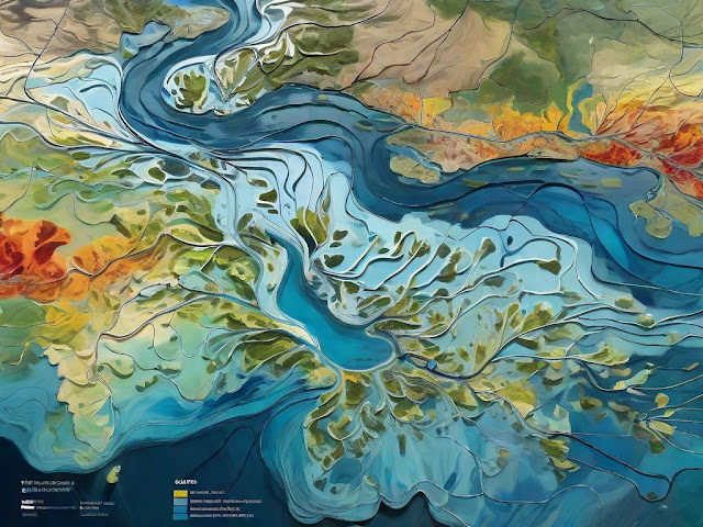
Satellite imagery, a key component of remote sensing, provides high-resolution images of the Earth's surface. These images are captured by satellites orbiting the Earth and can be used to study changes in vegetation, land use, water bodies, and other environmental features. Satellite imagery enables researchers to observe and analyze large areas over time, providing a comprehensive understanding of environmental patterns and changes.
Remote sensing and satellite imagery technologies are indispensable in monitoring land use changes. By comparing satellite images taken at different times, scientists can identify shifts in land cover, such as urban expansion, deforestation, or agricultural developments. This information is crucial for land management, urban planning, and conservation efforts.
Tracking Forest Cover and Its Changes
The monitoring and analysis of forest cover is of utmost importance due to the vital role forests play in the environment. They serve as habitats for countless species, act as carbon sinks, regulate water cycles, and provide resources for human populations. Remote sensing and satellite imagery allow scientists to assess forest cover on a global scale and monitor its changes over time.
Through remote sensing techniques, researchers can develop forest cover maps that provide accurate and up-to-date information on the extent and distribution of forests. By analyzing satellite images, they can detect deforestation, afforestation, and changes in forest density. These observations allow for effective forest management and conservation strategies.
Several case studies demonstrate the effectiveness of remote sensing and satellite imagery in analyzing forest cover. For example, in Brazil's Amazon rainforest, scientists have used satellite imagery to identify and monitor illegal logging activities, contributing to efforts to combat deforestation. Similarly, in Southeast Asia, remote sensing technologies have been instrumental in assessing the impact of palm oil plantations on forest cover and biodiversity.
Monitoring Land Use and Its Dynamics
Understanding land use patterns is crucial for sustainable development and environmental preservation. Remote sensing plays a significant role in analyzing these patterns by providing comprehensive and objective data on land cover and land use changes.
With remote sensing techniques, scientists can classify and quantify different land cover types, such as urban areas, agricultural lands, forests, and water bodies. By comparing satellite images taken at different times, they can determine changes in land use, such as urban sprawl, agricultural expansions, or the conversion of natural habitats.
The information obtained through remote sensing aids in urban development planning, agricultural management, and wildlife conservation. By studying land use dynamics, scientists can evaluate the impact of human activities on the environment and make informed decisions to promote sustainable land use practices.
Assessing Water Quality through Remote Sensing
Monitoring water quality is essential for ensuring the health and sustainability of aquatic ecosystems. Remote sensing technologies, combined with satellite imagery, provide a valuable tool for tracking changes in water quality, detecting pollution events, and managing water resources effectively.
By analyzing satellite images, scientists can identify and monitor various water quality indicators, such as chlorophyll concentration, turbidity, and water temperature. These indicators help assess the overall health and functioning of ecosystems, as well as detect harmful algal blooms and pollution sources, including oil spills or agricultural runoff.
The insights gained from remote sensing and satellite imagery assist in the preservation and management of water resources. By monitoring water quality, researchers and policymakers can make informed decisions to mitigate pollution, protect aquatic ecosystems, and ensure the availability of clean water for human consumption and industrial use.
Observing Climate Patterns via Satellite Imagery
Remote sensing technologies have revolutionized the study of climate patterns and their connection to environmental shifts. By analyzing satellite imagery, scientists can observe and monitor various climatic parameters, such as temperature, precipitation, cloud cover, and sea surface temperatures.
These observations enable researchers to analyze climate patterns at a global scale and detect long-term trends and anomalies. By understanding these patterns, scientists can assess the impacts of climate change on ecosystems, identify climate-sensitive regions, and develop strategies to mitigate and adapt to climate change.
The future possibilities and innovations in this field hold great promise. Advanced remote sensing technologies, combined with artificial intelligence and machine learning algorithms, may provide even more detailed and accurate insights into climate patterns, facilitating more effective climate action and environmental management.
Conclusion
Remote sensing and satellite imagery provide valuable tools for monitoring and understanding changes in forest cover, land use, water quality, and climate patterns. These technologies play a crucial role in environmental analysis, supporting the efforts of scientists, researchers, and policymakers in managing and preserving our planet.
As AI-generated content continues to evolve, human-like originality becomes increasingly important. Incorporating personal anecdotes, avoiding AI patterns, diversifying ideas, and adding unique stylistic elements make the content more engaging, memorable, and authentic. Through these advancements, we can create diversified, relevant, and impactful content that helps shape a better understanding of our environment and drive positive change.
Looking ahead, the development of evolving technologies holds tremendous potential for environmental analysis. With continuous innovation, we can expect more accurate, detailed, and real-time data from remote sensing and satellite imagery. These advancements will catalyze further progress in understanding and addressing the environmental challenges we face, fostering a sustainable and resilient future for our planet.


